by Andrew Trafford, Geophysical Consultant

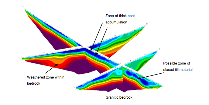
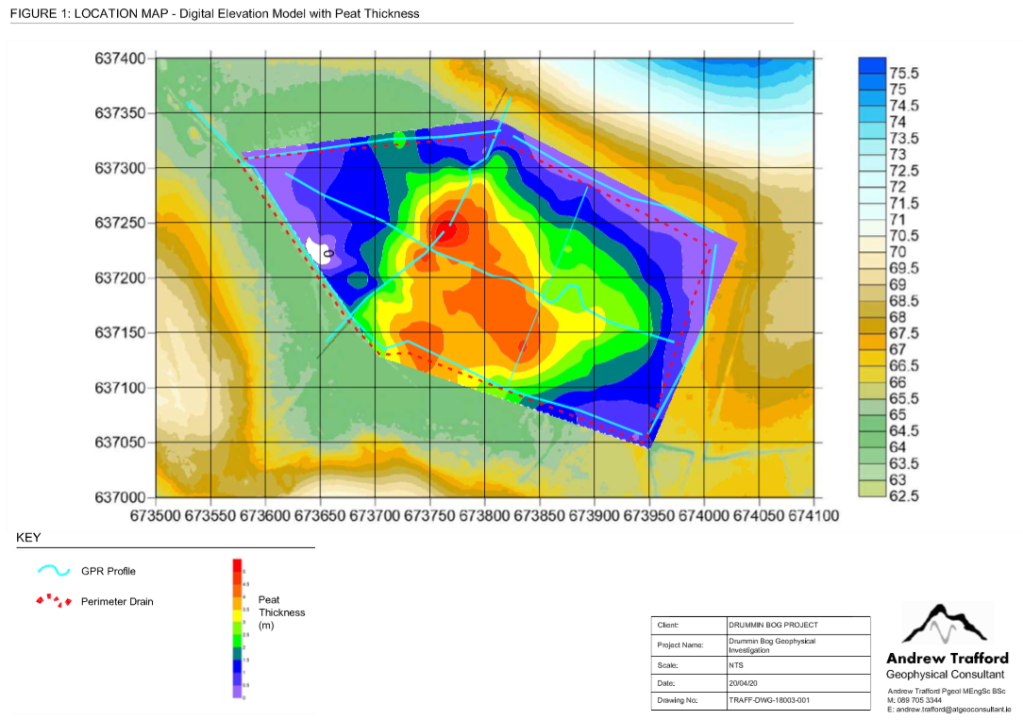
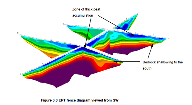
‘The data clearly showed the peat distribution with the thickest peat soils present in a topographic low formed in the underlying geological formations. Clay and silts were deposited in this depression prior to the transition into ‘fen’ type organic soils with bog peats forming at a later date. The peat was found to have a maximum thickness of c. 5.7m towards the centre of the site.
The deeper geology was found to be dominated by crystalline granitic bedrock with weathered zones above. The bedrock was seen to shallow to the south in accordance with data from the Geological Survey Ireland. A zone interpreted as more granular till material was interpreted towards the eastern part of the site.
Download the full report below:
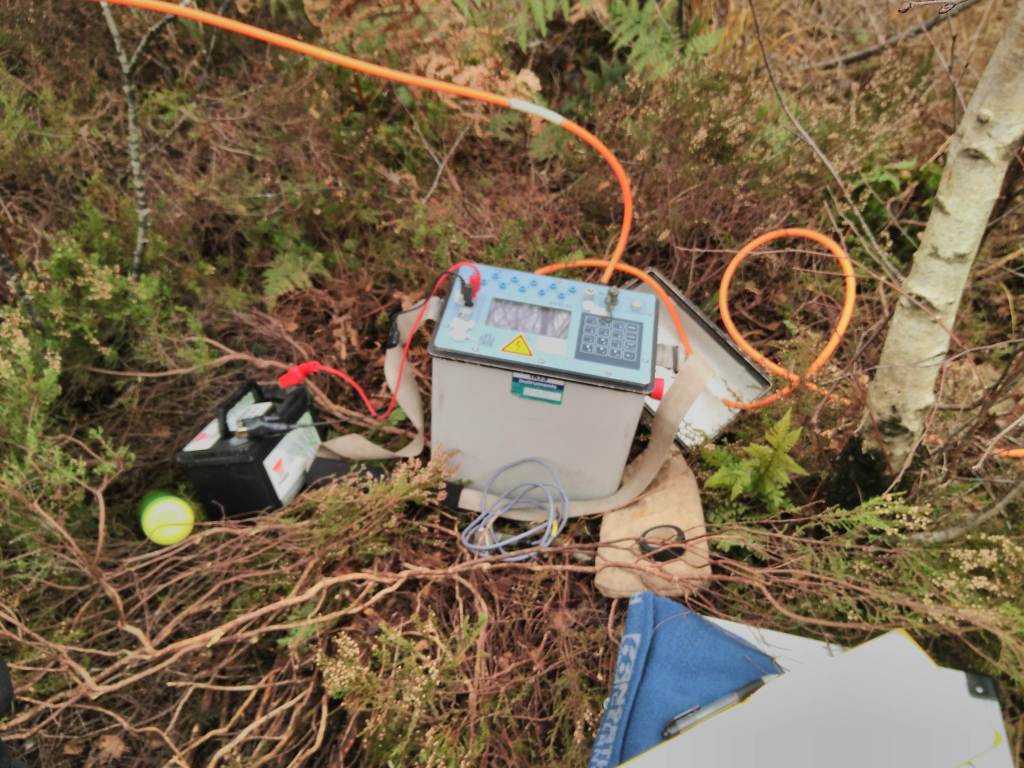
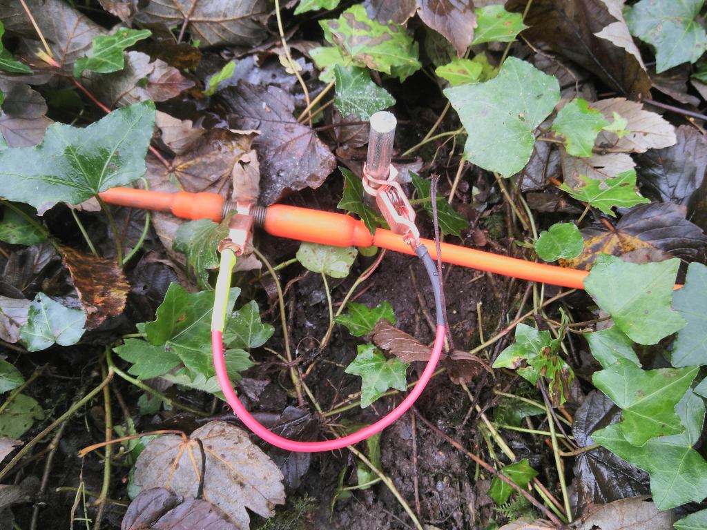
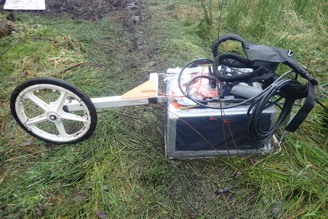
Data were collected along a series of transects crossing the main part of the bog using the following geophysical techniques; Ground Penetrating Radar (GPR), Electrical Resistivity Tomography (ERT) and seismic refraction. By collecting several complimentary techniques and incorporating all available intrusive investigation data it is possible to produce a representative interpretation of the subsurface across the site.